
Rise of coastal building
Through the 19th century, shipping growth and shifting shoals drove steady lighthouse construction along exposed capes, harbor mouths, and reef passages.
Northern Coast Archive
Explore an archive shaped by historic photographs, keeper narratives, and the preserved towers that still mark the shoreline.
These towers were practical lifesaving infrastructure first, then enduring landmarks shaped by labor, weather, and local stewardship.
Through the 19th century, shipping growth and shifting shoals drove steady lighthouse construction along exposed capes, harbor mouths, and reef passages.
Keepers followed strict cycles of trimming wicks, polishing lenses, and logging weather, often in isolation where reliability mattered more than recognition.
As automation retired resident keepers, communities, conservators, and coastal agencies stabilized the remaining stations as shared historic reference points.
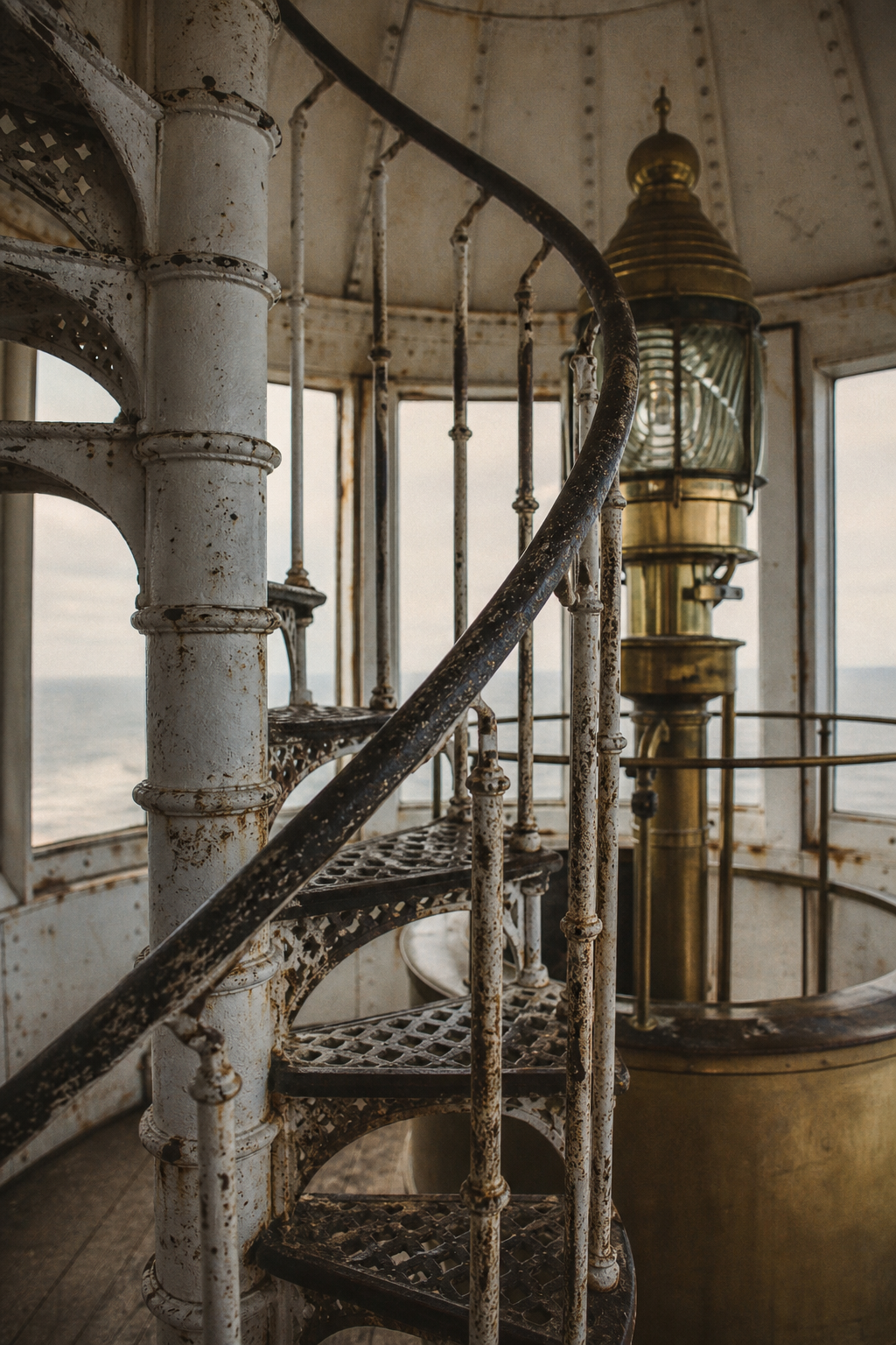
Heritage highlights
A quick editorial overview before the keeper stories and archive photography: era, preservation, technology, and memory in one scan.
Historical era
Most surviving towers were raised or rebuilt as shipping lanes expanded and storm records demanded permanent beacons.
Preservation value
Many stations retain original masonry, lantern rooms, and fog-signal foundations under regional conservation care.
Beacon technology
Successive upgrades trace the shift from hand-trimmed flames to automated rotating optics and modern signalling.
Community memory
Oral histories and donated journals preserve weather accounts, rescue notes, and routines once kept by hand.
Keeper Narratives
These short portraits trace the daily discipline behind the northern coast beacons, where ordinary tasks became the memory-work of maritime safety.
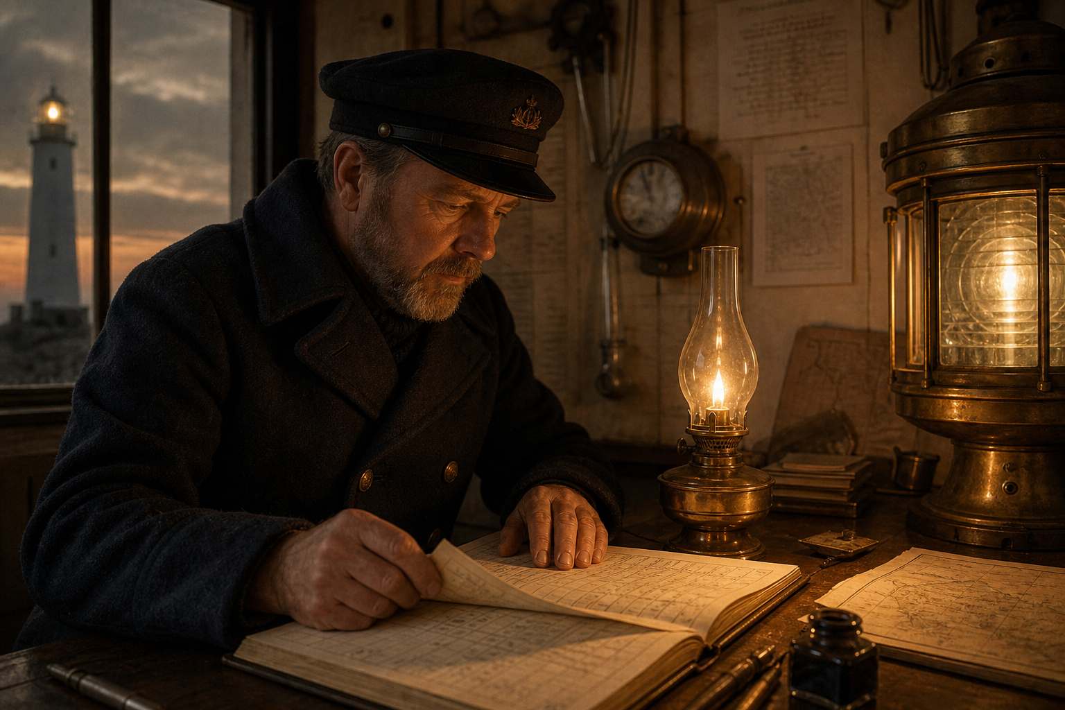
Night Watch
Before each turn of the lens, he checked the flame trim, noted wind shifts, and recorded passing vessels in a careful hand that outlasted the storm itself.
Duty note: Fourth-order tower log, Cliffhead Station, winter rotation.
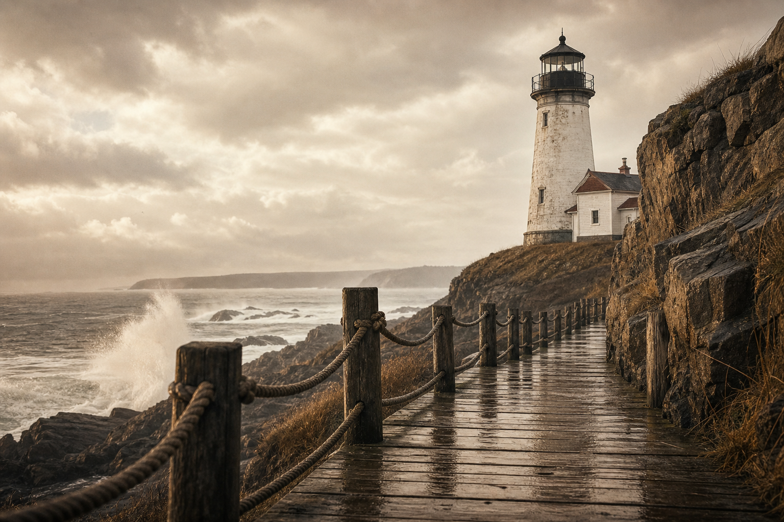
Supply Rounds
With rain pushing sideways across the bluff, the morning walk for oil tins and coal became a practiced route, measured less by distance than by footing and tide.
Place note: Service walkway between keeper cottage and west beacon stairs.
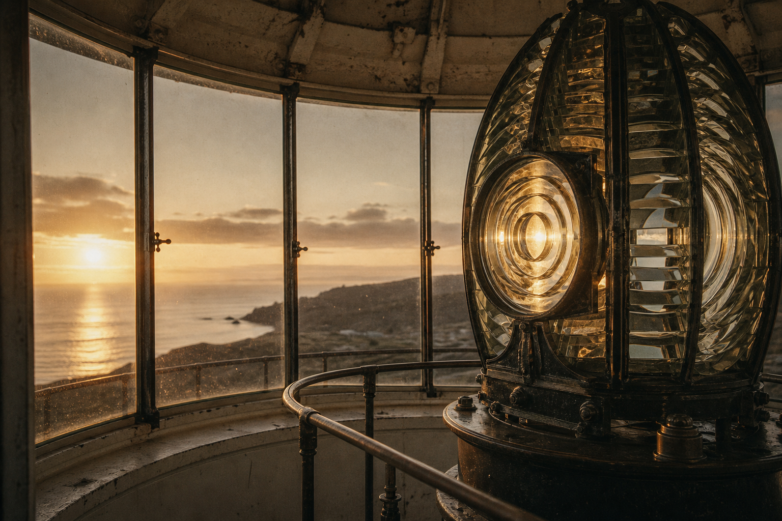
First Light
At daybreak the mechanism was cleaned, the glass cleared of salt haze, and the quiet final check made before the coast changed from warning light to working shore.
Duty note: Lens maintenance and dawn handover, East Point beacon interior.
Continue the record in the archive photograph collection.
Archive photographs
From lantern glass to fog-bound headlands, these frames trace how light, labor, and weather shaped the northern shore.
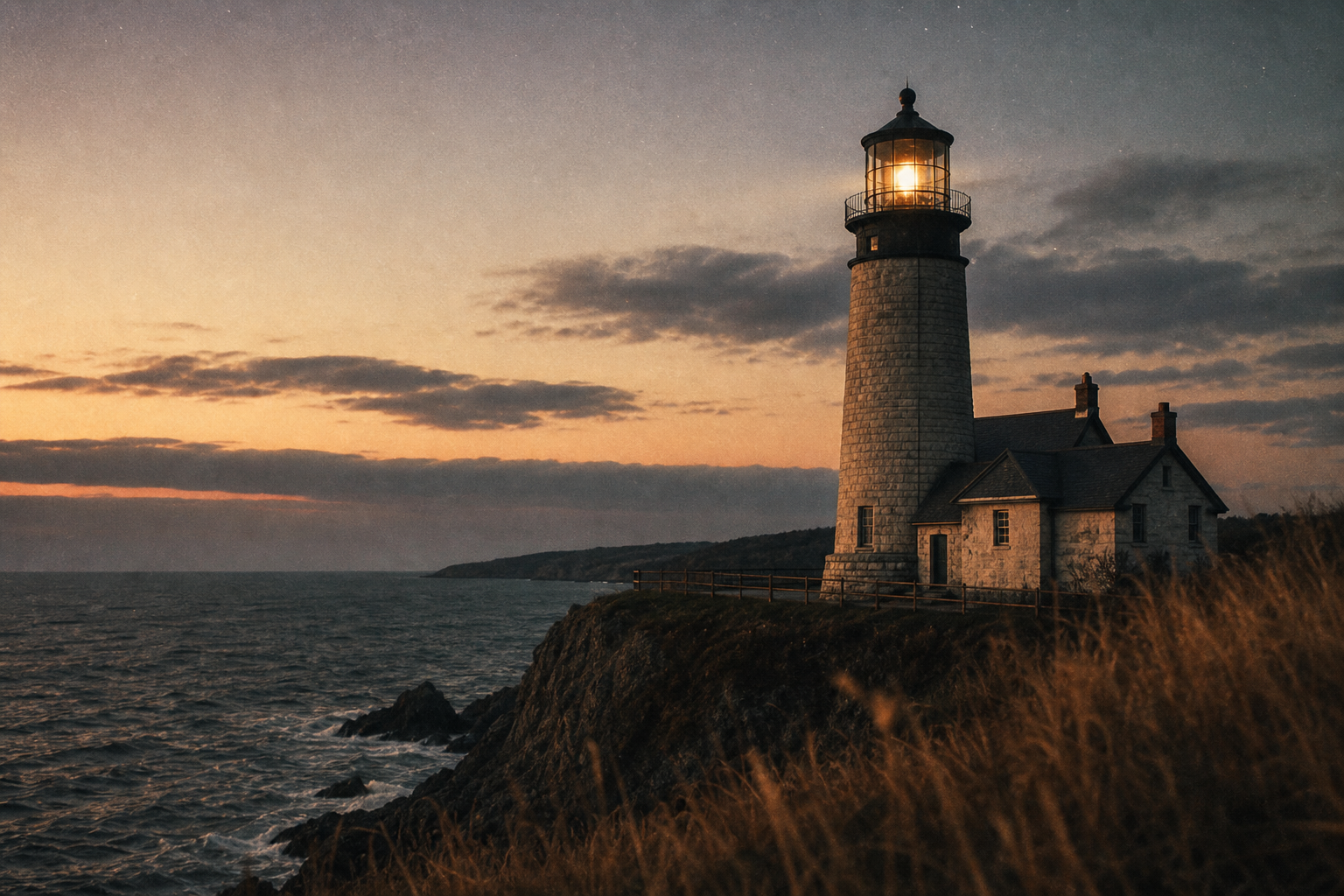
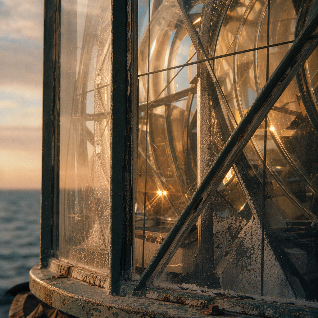
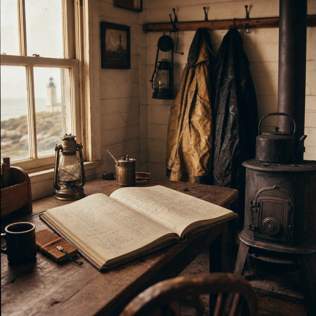
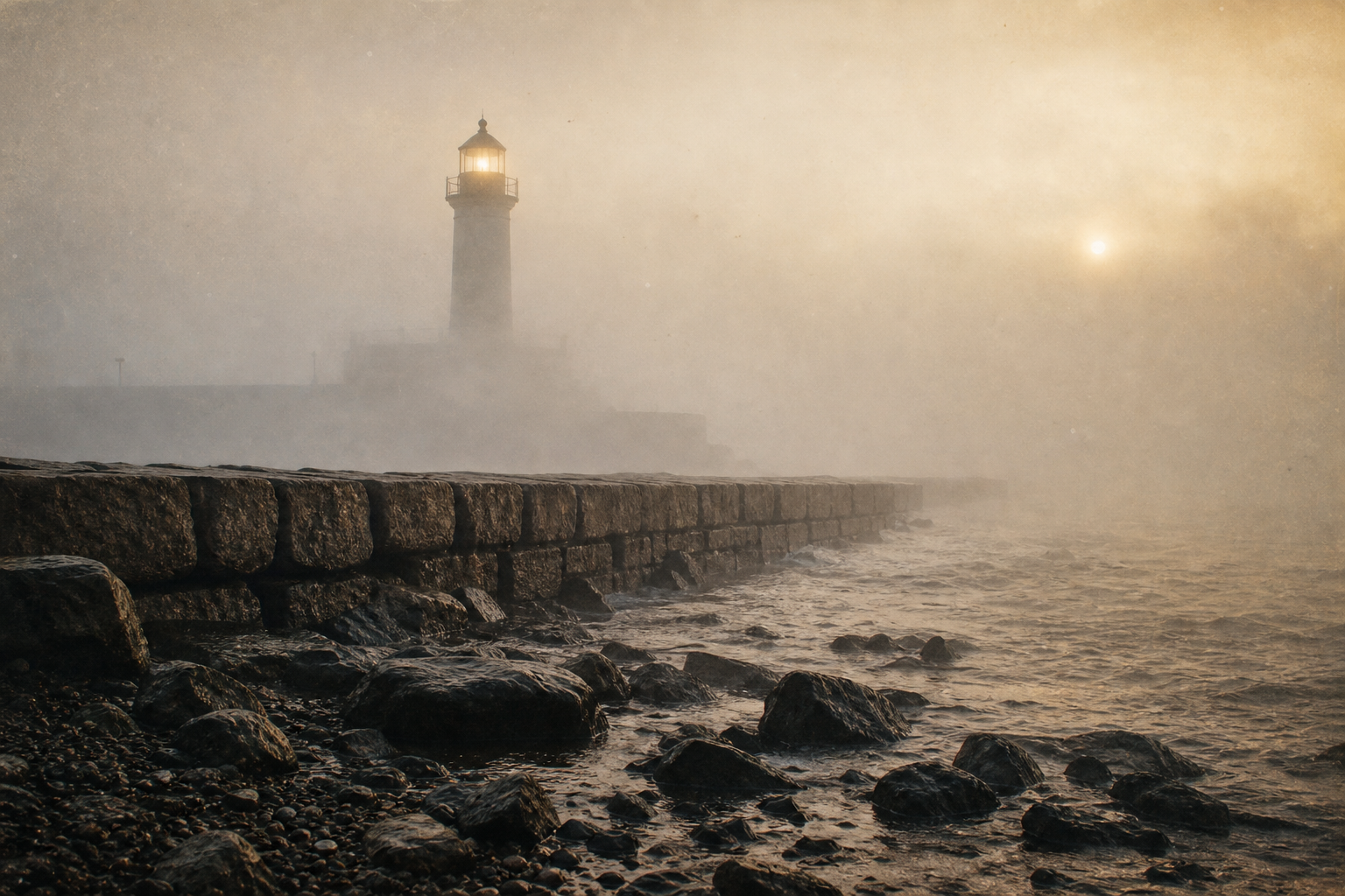
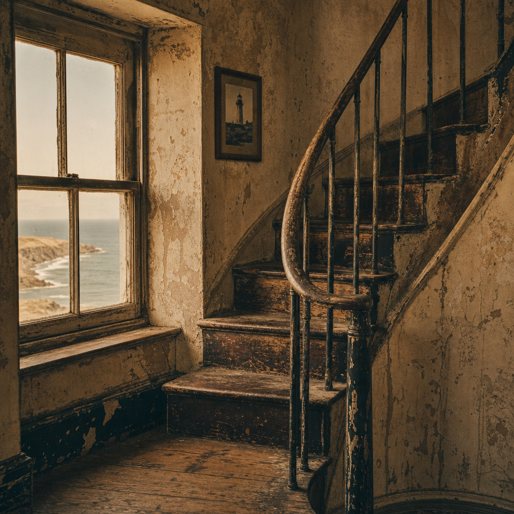
Follow the route from headland to harbor and connect each preserved beacon to the photographs, keepers, and shoreline memory held in this archive.
Trace the coastline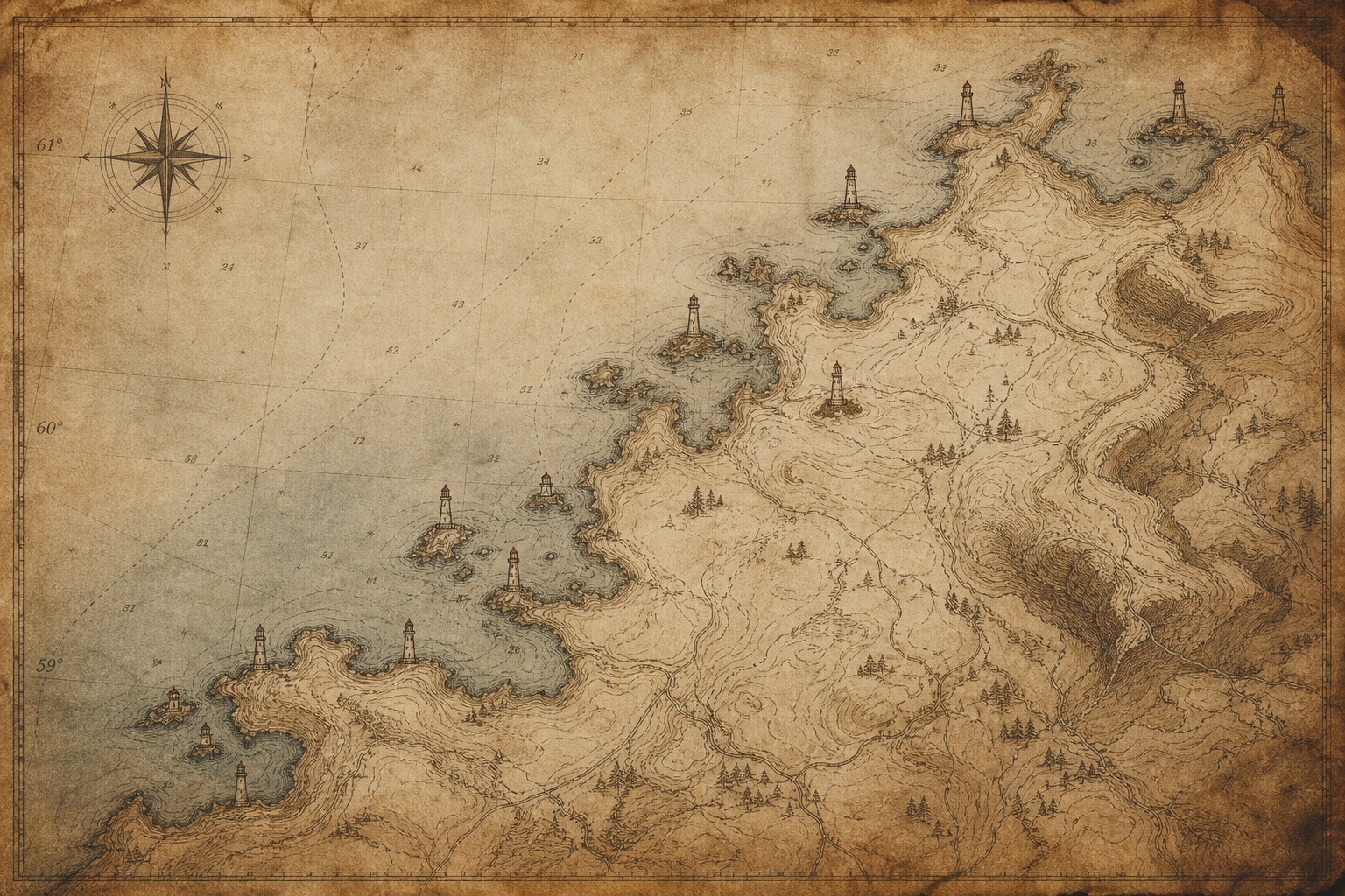
Practical guidance for respectful visits and reliable planning along the northern coast.
Many towers sit on uneven ground, sea-worn paths, or stepped approaches. Conditions vary by site, so check local access notes before travel and choose routes that match your mobility needs.
Wind, fog, and sudden rain are common in every season, with winter daylight especially short. Layered clothing, waterproof footwear, and flexible timing make visits safer and more comfortable.
Fenced zones and marked boundaries protect fragile masonry, cliffs, and nesting habitats. Please remain on signed public paths and avoid entering restricted ground, even when gates appear open.
Photography is usually welcome from public viewpoints. Keep tripods clear of narrow walkways, avoid climbing barriers for angles, and share space courteously with residents, guides, and other visitors.
Closures often reflect structural repairs, staffing limits, or seabird protection periods. Temporary restrictions help preserve the towers so that safe public access can continue in future seasons.